


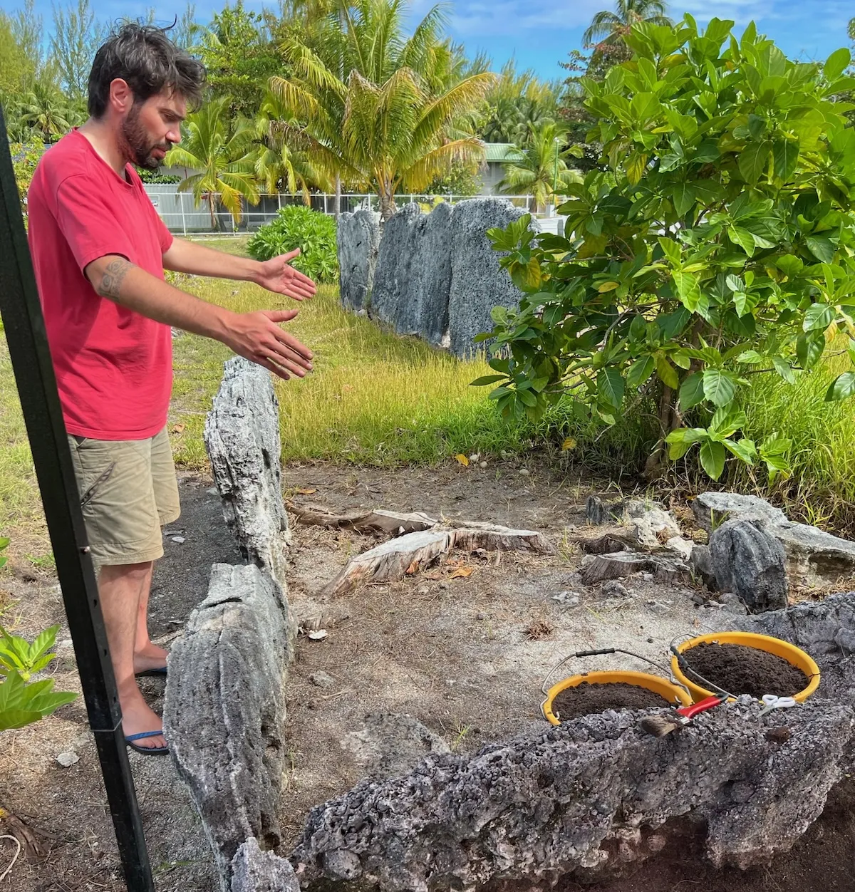
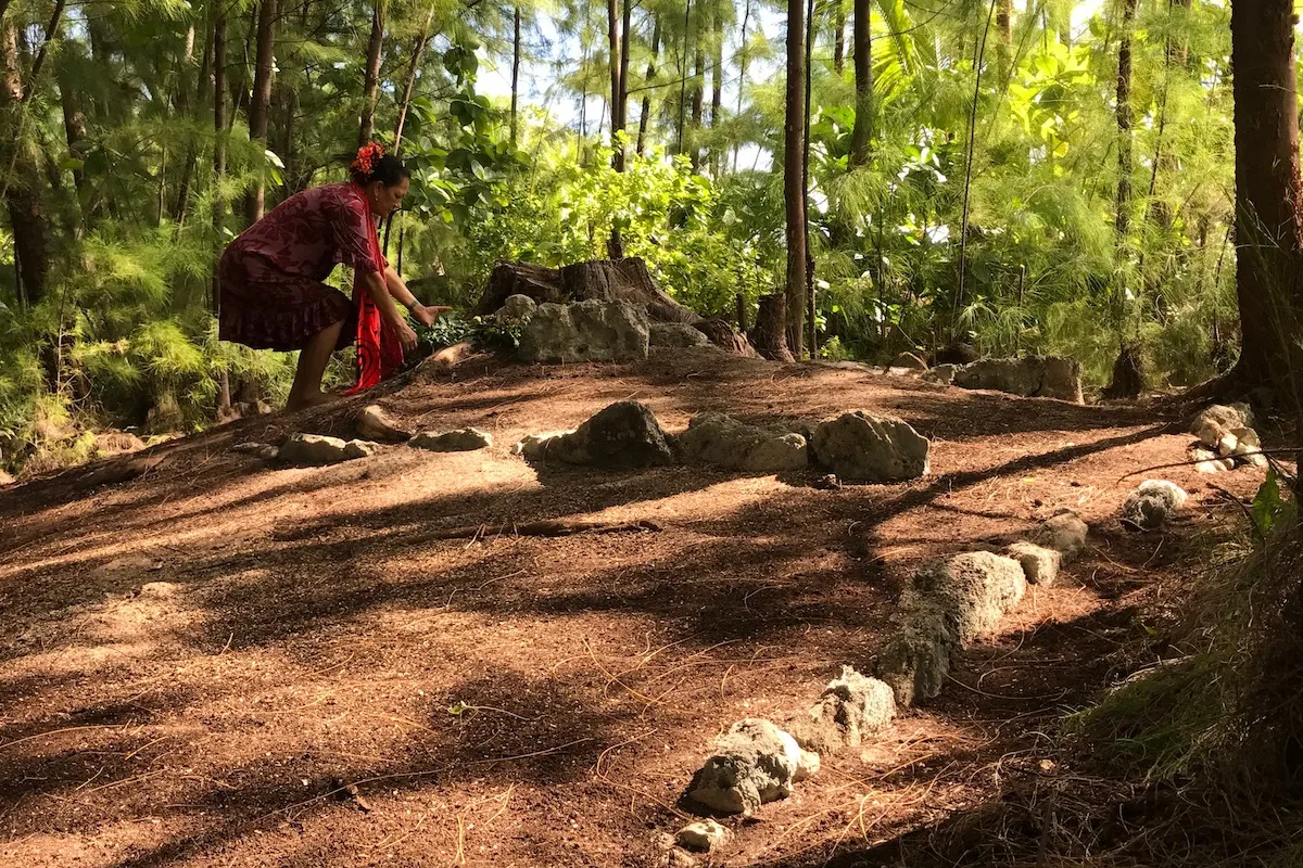
Material collected from the marae which is under analysis include: marine shell assemblages, pig bones, thousands of fish bones, and charcoal. In late 2022 there was also a major discovery on the marae of an infant burial. Following strict professional protocol for working with human remains, and after consultation with the Tetiaroa Society Cultural Committee, the decision was made to do lab analysis on the bones. We were able to take samples to extract DNA and do chemical analysis, and also measure all of the bones. The DNA revealed that the child was female. Based on several bone measurements it was estimated that the age-at-death was between 1 and 2 yr-old with no indication of trauma or disease. A preliminary radiocarbon analysis returned a date of 271 +/- 18 BP, or mid-1700s. In May, 2023, a ceremony led by the TS Cultural Committee took place on Onetahi to rebury the child where she was discovered. At the maite we were able to reconstruct the sequence of construction of the pit through microscopic studies. Additional phytoliths and charcoal analyses are planned in 2024 but a scientific paper is already in preparation and will report on this innovative study.
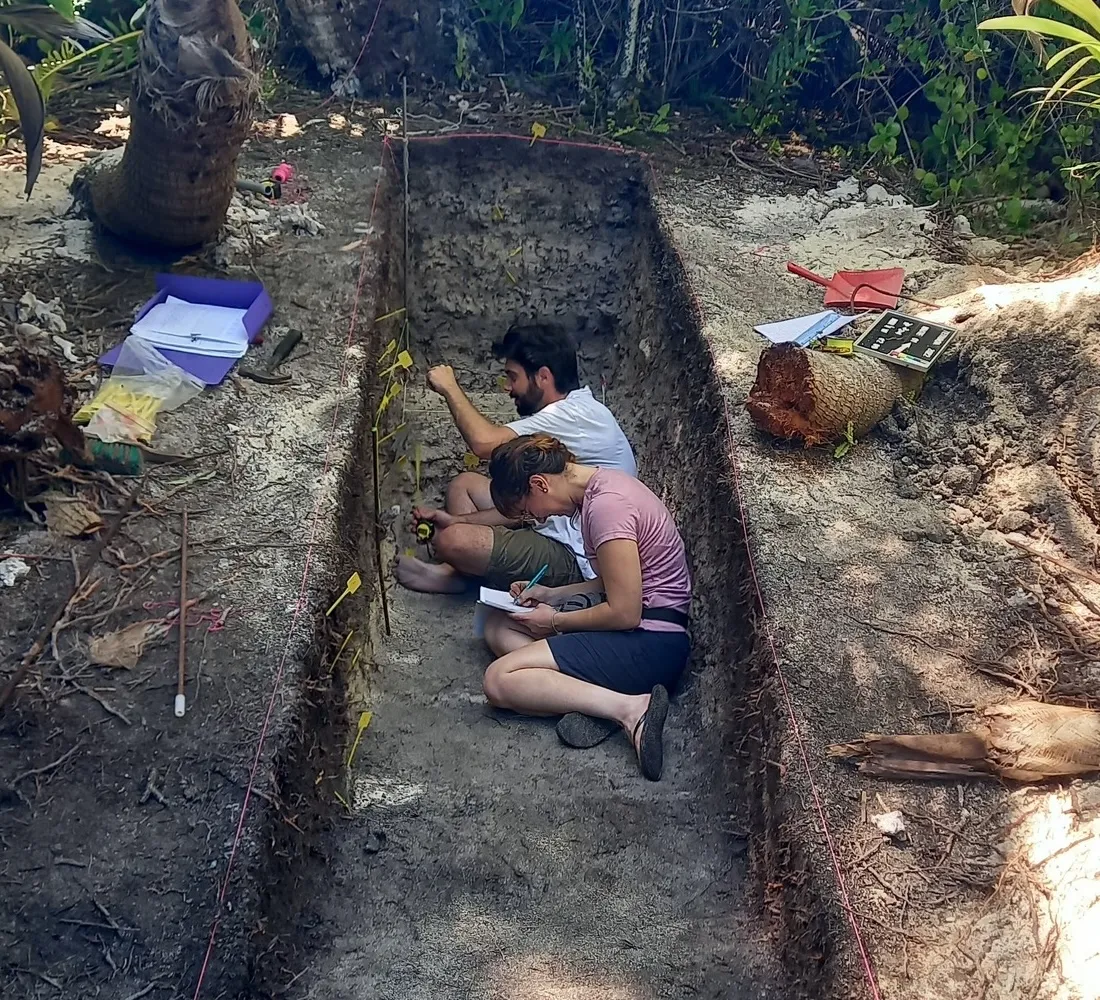
In 2023, the CIRAP team also secured a 4-yr funding grant from the Agence Nationale de la Recherche (France) for a project entitled PASTAtolls – Multidisciplinary approach to Polynesian Atolls Socio-Ecosystems in Time. Among the targeted atolls in this project is Teti’aroa and our team will continue the excavation program from 2024 onwards, including paleoenvironmental reconstructions and in-depth investigation of the dynamics between Polynesian and their terrestrial and marine ecosystems.
Tetiaroa occupies a very special place in Tahitian culture and history. Tetiaroa Society continues the inventory of archaeological sites on the atoll, started by Professor Sinoto, and provides the opportunity for field training programs in archaeological techniques.
Teti’aroa is the only atoll in the Windward group of the Society Islands, French Polynesia. It has been described in the ethnohistorical record as a secondary place of residence for the Tahitian royal family of Pare in the 18th Century. However, Teti’aroa’s history beyond this remains relatively unknown as the atoll is archaeologically understudied.
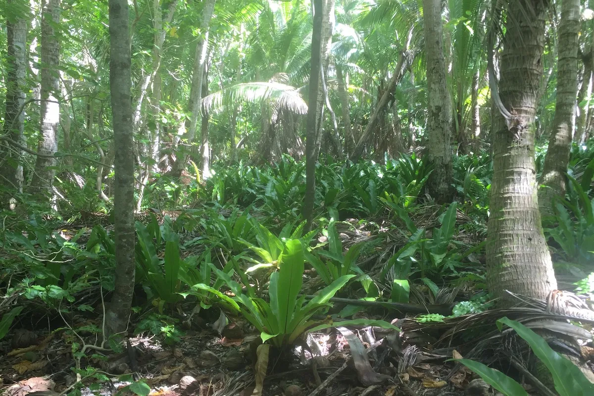
Some islets left uninhabited for decades are covered with dense vegetation that probably hides more archaeological remains. In such cases, a fully comprehensive record of all structures is certainly out of reach. However, while focused on the main habitation and marae clusters, our systematic survey covered the whole surface of these islets.
For the sake of preserving native species and the vegetation cover in general, the sites were minimally cleared.
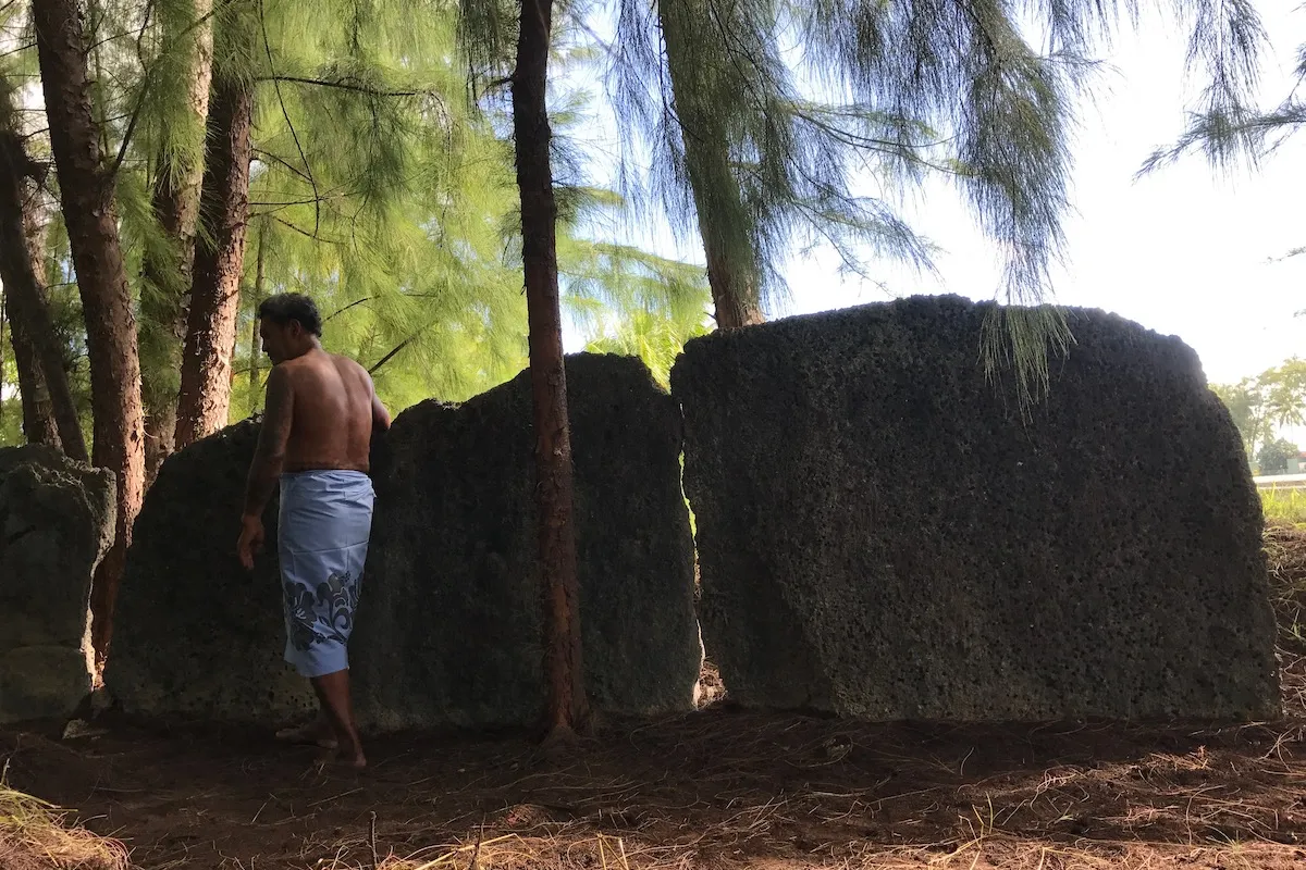
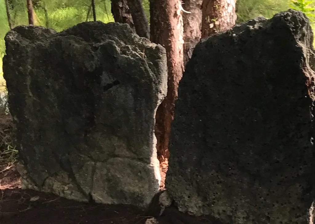
Marae sites which served as places of interactions with deities and ancestors are of particular interest to archaeologists as they shed light on ancient rituals, and reveal the socio-political status and identity of the associated populations.
Twenty sites have been securely identified as marae on the atoll so far as they display characteristic features of Polynesian ceremonial architecture.
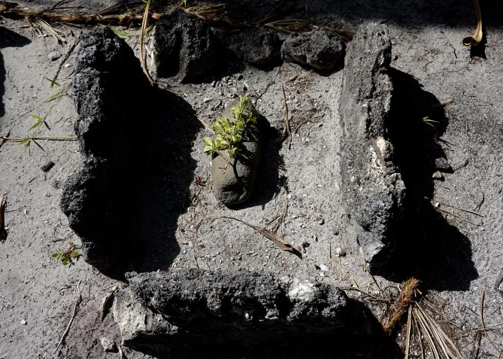
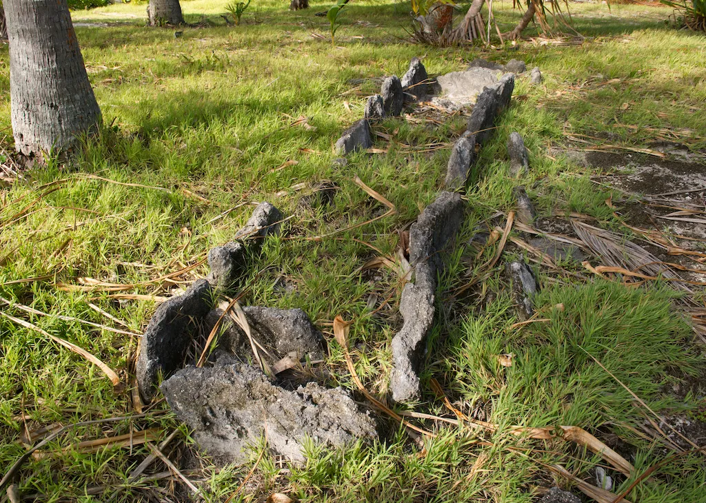
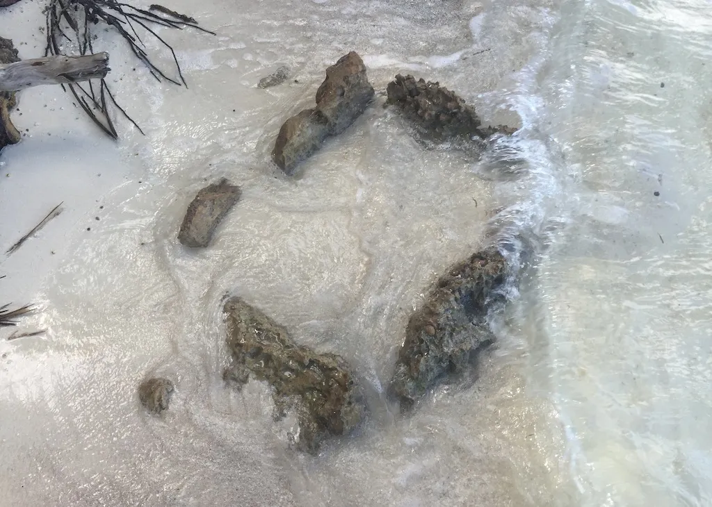
Three main types of marae can be distinguished exclusively by their court enclosure systems.
- First, open court marae (type 1) show an ahu, upright stones and cists grouped within an area where boundaries are no longer visible today but might have been made of vegetal fences.
- Second, more simple enclosures (type 2), rectangular or trapezoidal, exhibit a court delimited by a single line of coral slabs set on edge.
- Finally, double-walled enclosures (type 3) display a more elaborate architecture. This is found only with the largest marae.
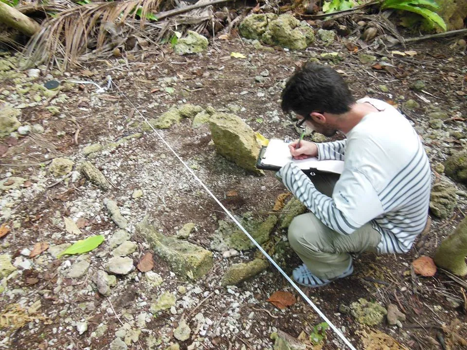
In 2015, a global Geographical Information System (GIS) database was created for the Tetiaroa Society by the University of French Polynesia. This GIS map includes all available aerial, satellite, and LIDAR images, maps of The Brando resort facilities on Onetahi motu, vegetation maps, turtle nests database, and other data. The detailed vector maps of Teti’aroa archaeological sites are also being added into this multi-thematic GIS database.
This mapping effort involves GPS measurements in the field in order to precisely record the location of the structures and match them with our detailed maps.
Currently, ninety archaeological structures have been recorded (Molle & Hermann 2016), all of which will be included in the GIS.